Towering at 1,903 meters above sea level, Mount Talinis—also known as the Cuernos de Negros—stands as one of the most iconic and challenging mountain destinations in the Visayas. This Mt Talinis Climb is a true test of endurance and grit, drawing seasoned hikers and adventure seekers eager to experience a raw, untamed landscape. Located in Negros Oriental, the mountain is a dormant volcano known for its dramatic terrain and ever-changing scenery, where mist, rain, and sunlight can shift within minutes—making every Mt Talinis Hike uniquely unpredictable.
A Mount Talinis Trek takes you deep into dense mossy forests, muddy and technical trails, and volcanic landscapes shaped by time. Along the way, hikers encounter steaming sulfur vents, hidden waterfalls, and stunning crater lakes—most notably Lake Nailig, a peaceful and surreal campsite surrounded by towering trees and cool mountain air. The trail can be punishing, especially during wet conditions, but every step rewards you with a deeper connection to nature and a greater appreciation for the Mt Talinis Climb.
This Mt Talinis Hike Guide is designed for those who crave adventure beyond the ordinary. From long ascents and unpredictable weather to breathtaking summit views and alpine serenity, Mount Talinis offers an experience that is both physically demanding and spiritually rewarding. Reaching the summit delivers panoramic views of Negros Island, crisp mountain winds, and the unforgettable feeling of standing atop one of the region’s most scenic peaks.
Whether you’re a seasoned mountaineer, a trail runner seeking your next challenge, or an explorer drawn to volcanic landscapes, the Mt Talinis Trek and overall Mt Talinis Hike promise an unforgettable journey into the wild heart of Negros—where every hardship is matched by awe-inspiring beauty.
Table of Contents
Mt Talinis Hike Guide Overview
- Elevation: 1,903 meters above sea level
- Jump-off Point: Apolong (Valencia)
- Exit Point: Bediao (Dauin)
- Trail Length: Approximately12 to 15 kilometers
- Difficulty: 7/9 – recommended only for experienced hikers
- Trail Features:
Lake Nailig: A serene crater lake often used as a campsite. The lake is surrounded by lush forests and offers a peaceful retreat for hikers.
Kaipohan Sulfur Vents: A geothermal area along the Apolong Trail, featuring sulfur vents and unique volcanic landscapes.
Lake Yagumyum: Located along the Bediao Trail, this mystical lake sits beside the pointy Yagumyum Peak and is known for its scenic beauty.
The Journey Begins: Manila to Dumaguete City
Mount Talinis is located in Negros Oriental, southwest of the municipality of Valencia. From Manila, our group took a local flight to Sibulan Airport in Negros Oriental. From there, we took a short tricycle ride to Dumaguete City.
It was already nighttime when we arrived in Dumaguete City, so we had dinner before roaming around while waiting for our service to take us to the jump-off point of our Mt Talinis Climb.


After waiting for an hour, our service picked us up, and we began our journey to the municipality of Valencia. Since Valencia is a neighboring town of Dumaguete, the travel time took approximately an hour.
By the time we arrived at the jump-off point, it was already late. This was also where we stayed for the night to rest before embarking on our Mount Talinis Trek the next day.
Klook.comMt Talinis Hike Guide: The Climb from Apolong Trail to Lake Nailig
This two-day Mt Talinis Hike Guide follows the challenging yet rewarding Apolong Trail in Valencia, traversing across the mountain range and exiting via the Bedia Trail in Dauin. This classic traverse is a favorite among experienced hikers attempting a full Mt Talinis Climb, as it showcases the mountain’s diverse terrain and volcanic features. On the first day of this Mount Talinis Trek, our main objective is to reach Lake Nailig, where we will establish camp and rest before the summit push.
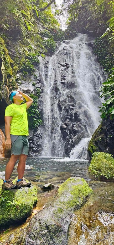
The Apolong Trail is notoriously long and physically demanding, marked by steep ascents, muddy sections, and rugged terrain that steadily test endurance. This part of the Mt Talinis Climb requires patience, steady pacing, and mental resilience. Despite the difficulty, the trail continuously rewards hikers with crystal-clear rivers and cascading waterfalls at various points—perfect for short breaks, water refills, and moments of appreciation amid the exhaustion. These refreshing stops are a highlight of any Mt Talinis Hike Guide, reminding hikers of the raw beauty hidden deep within Negros Oriental’s mountains.
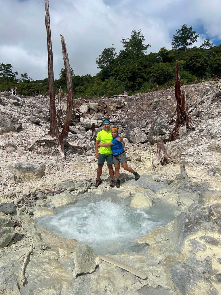
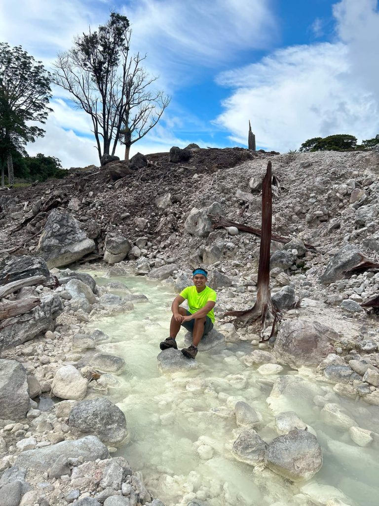
One of the most striking features along this Mount Talinis Trek is the Kaipuhan Sulfur Vents. As we passed through this area, the scenery shifted dramatically. Steam rose from cracks in the earth, and the scent of sulfur filled the air, creating a surreal volcanic landscape where the ground seemed to breathe. The stark, rocky terrain stood in sharp contrast to the lush greenery surrounding it—an unmistakable reminder that Mount Talinis is a dormant volcano shaped by powerful natural forces.
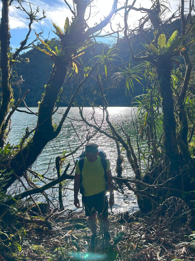
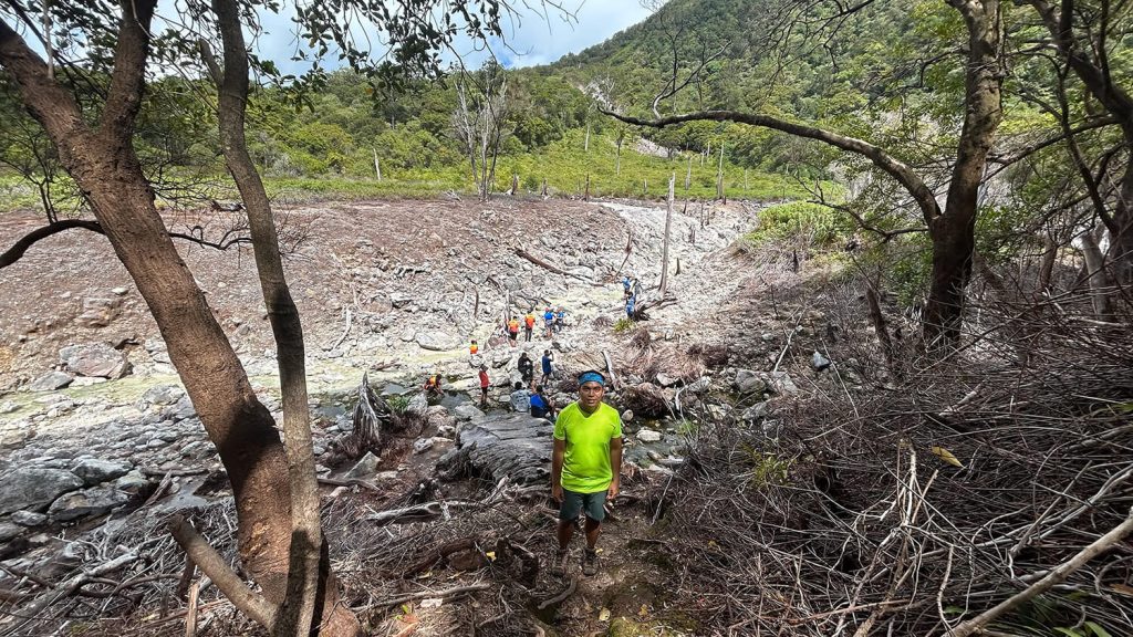
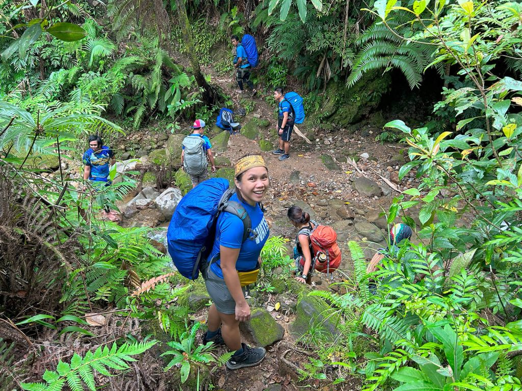
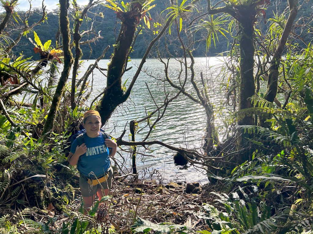
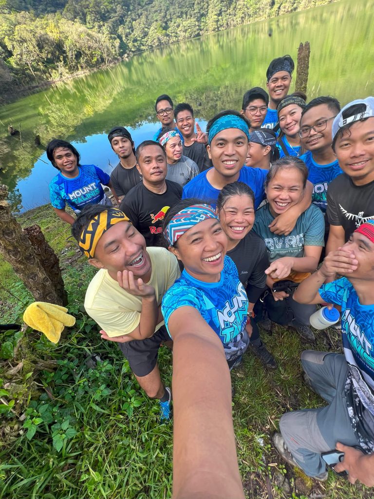
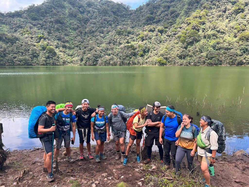
By late afternoon, after hours on the trail, we finally arrived at the campsite near Lake Nailig, a major milestone in this Mt Talinis Hike Guide. As we approached, the lake revealed itself—calm, still, and mirror-like—perfectly reflecting the surrounding trees and misty mountain backdrop. The sight instantly washed away the fatigue of the long Mt Talinis Climb, replacing it with a sense of peace and quiet triumph.
We quickly set up camp and took time to soak in the cool, crisp mountain air. As darkness settled over the highlands, we shared a warm meal, exchanged stories, and laughed under a sky dotted with stars. The serene atmosphere of Lake Nailig made the experience deeply memorable, strengthening our sense of camaraderie and anticipation. It was a well-earned pause—one that perfectly set the tone for the summit hike awaiting us on the next day of our Mount Talinis Trek.
Mt Talinis Hike Guide: The Ascent to the Summit
At around 5:00 AM, our group slowly woke to the crisp silence of the highlands, signaling the start of the much-anticipated summit push outlined in this Mt Talinis Hike Guide. The air was cold and refreshing as we prepared our gear by headlamp, layering up for the final leg of the Mt Talinis Climb. Instead of a heavy meal, we opted to skip breakfast and packed only light trail food and water, knowing the remaining distance to the summit of this Mount Talinis Trek would be relatively short but still demanding.
By 6:00 AM, we officially began the summit hike. Compared to the grueling ascent on the previous day, this section of the Mt Talinis Climb felt more manageable, though the trail remained rugged and uneven. The cool morning breeze, combined with the soft glow of the rising sun filtering through the trees, created an energizing atmosphere that pushed us forward. Each step felt lighter, fueled by anticipation and the excitement of nearing the peak—a defining moment in this Mt Talinis Hike Guide journey.
As we continued upward, the forest gradually opened, revealing glimpses of the landscape below. The steady pace and favorable conditions made this stretch of the Mount Talinis Trek both enjoyable and reflective. Fatigue faded into the background as the sense of accomplishment grew stronger with every meter gained.
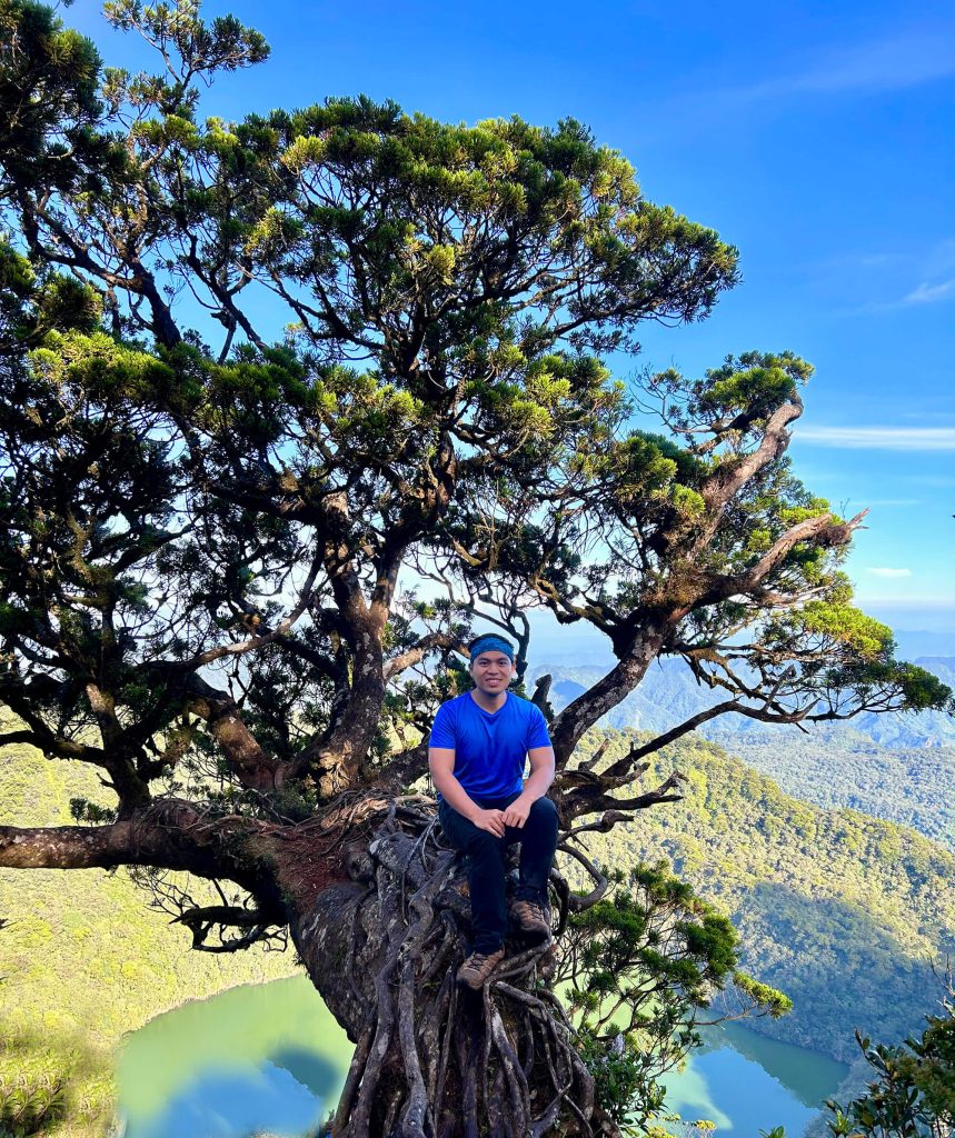
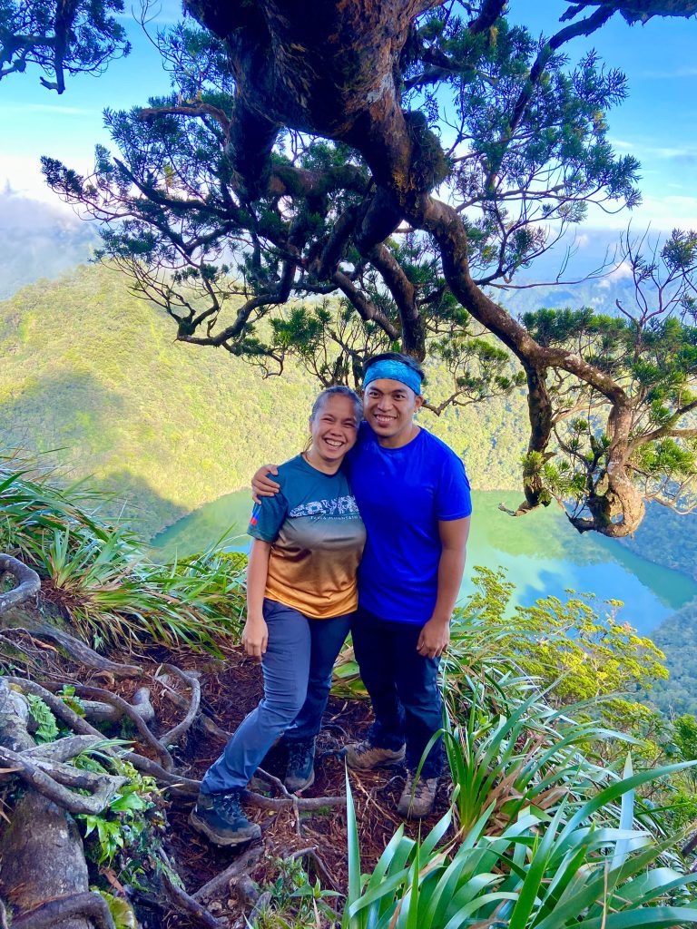
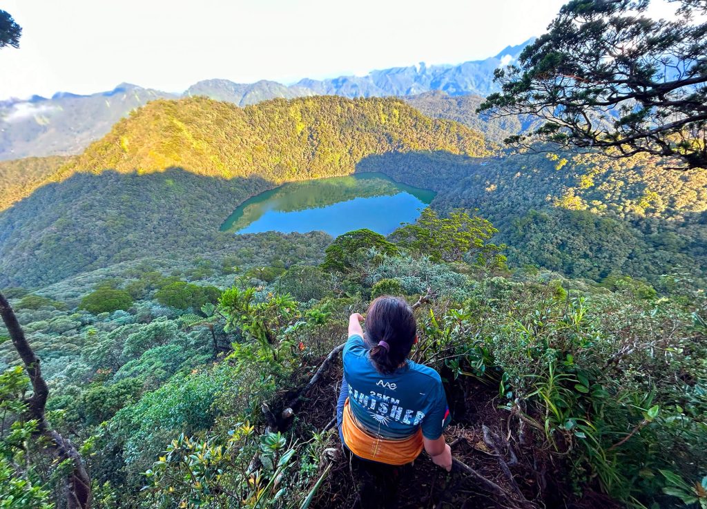
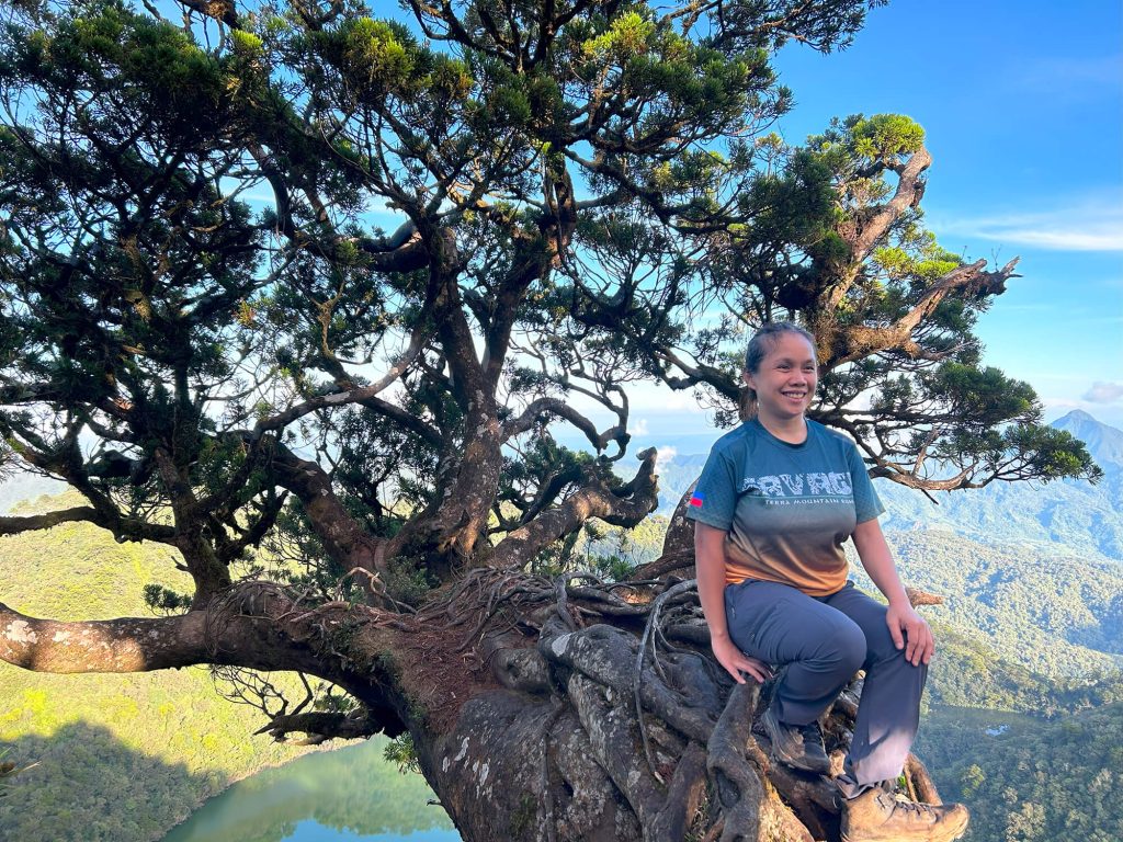
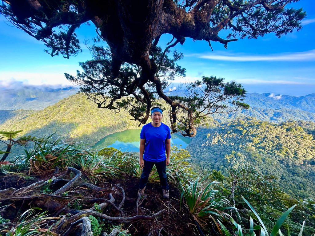
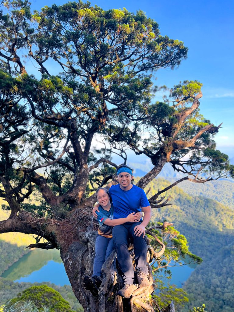
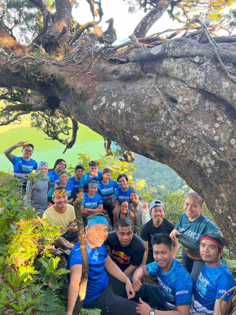
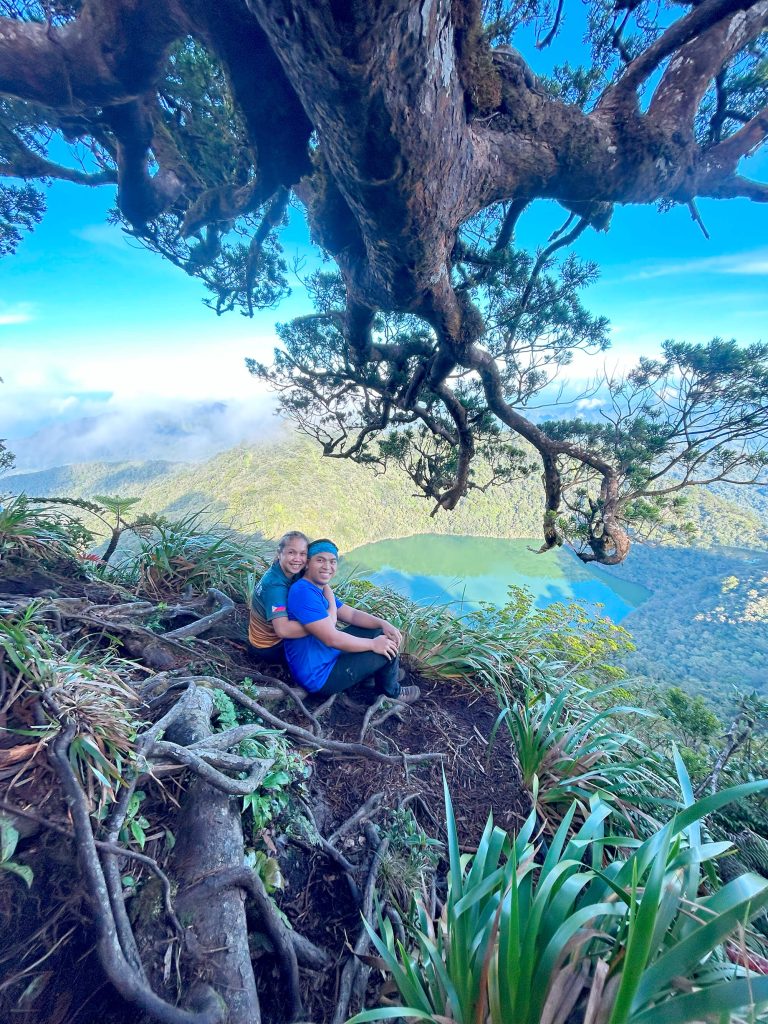
At around 8:00 AM, we finally stood atop the summit of Mount Talinis, marking the culmination of our Mt Talinis Climb. We were instantly rewarded with a breathtaking panorama that made every challenge worthwhile. Below us, Lake Nailig shimmered like a sapphire—perfectly still, mirroring the sky above. In the distance, the vast landscape of Negros Oriental unfolded endlessly, a rolling tapestry of lush greenery, mist-covered ridges, and distant peaks.
We lingered at the summit, fully immersing ourselves in the moment. Cameras clicked, quiet conversations flowed, and deep breaths filled our lungs with cold, clean mountain air. Standing there, surrounded by nature’s grandeur, the true essence of the Mount Talinis Trek revealed itself—humbling, powerful, and unforgettable. It was the perfect reward and a defining highlight of this Mt Talinis Hike Guide adventure.
Mt Talinis Hike Guide: The Descent via Bediao Trail to Dauin
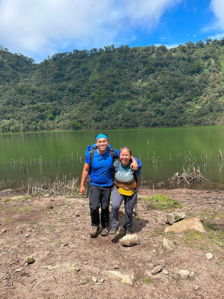
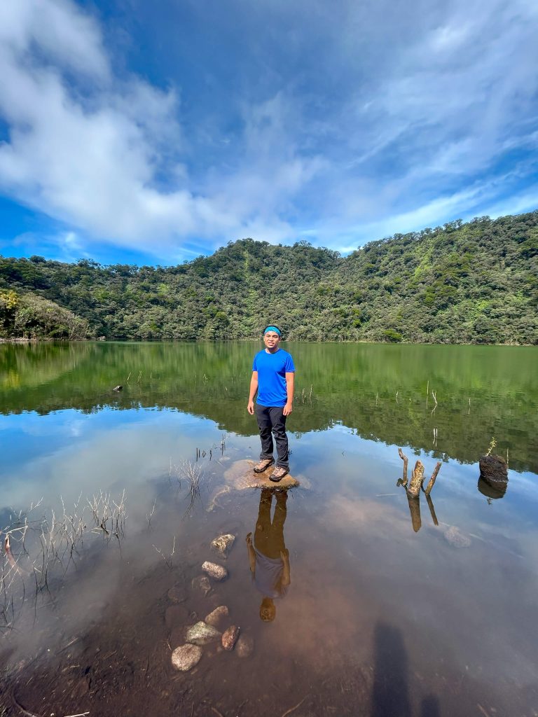
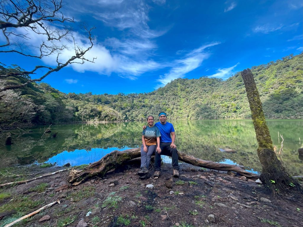
Eventually, we began our descent from the summit, carefully making our way back to the campsite to enjoy a well-earned brunch—an important pause in this Mt Talinis Hike Guide before the long journey down. As we approached Lake Nailig once more, the scenery felt even more striking than the day before. The lake appeared clearer, its glassy surface perfectly reflecting the towering trees and the soft morning light. We took our final snapshots, lingering a little longer as if to imprint the moment in our memory—one last, quiet farewell to the serene beauty of Lake Nailig and to the mountain that had tested us throughout the Mt Talinis Climb.
After descending from the summit, our group settled back at the campsite and began preparing a late breakfast. While some cooked and organized our gear, others wandered around the lakeshore, capturing photos and simply soaking in the peaceful atmosphere. The calm surroundings offered a gentle contrast to the physical demands of the Mount Talinis Trek, allowing us to slow down and fully appreciate the rewards of the journey.
Once brunch was ready, we gathered to eat, sharing stories and laughter as the fatigue slowly caught up with us. Afterward, we broke camp and packed our equipment in preparation for the final descent—an essential stage in this Mt Talinis Hike Guide. This time, our route followed the Bedia Trail toward Dauin, completing the traverse that makes the Mt Talinis Climb both challenging and unforgettable.
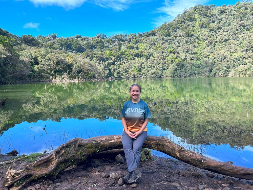
As we descended, the signs of civilization gradually became more noticeable, but the experience remained just as rewarding. The fresh mountain breeze, the rustling of leaves underfoot, and the distant sound of flowing streams accompanied us every step of the way. Even on the way down, the Mount Talinis Trek continued to offer moments of reflection and quiet appreciation.
Upon reaching the jump-off point, we boarded our service vehicle, exhaustion finally settling in alongside a deep sense of fulfillment. As we made our way back to Dumaguete City, the aches in our muscles faded into the background, replaced by vivid memories of mist-covered trails, volcanic landscapes, serene crater lakes, and sweeping mountain views. It was the perfect ending to an unforgettable Mt Talinis Climb—one that would linger long after the journey ended.
Klook.comMt Talinis Hike Guide: A Climb to Remember
Conquering Mount Talinis is more than simply standing at its summit—it is about embracing the challenge, pushing past physical limits, and fully immersing yourself in the raw and untamed beauty of Negros Oriental. This Mt Talinis Hike Guide is not merely a set of directions leading to the peak; it is an invitation to experience a transformative journey through dense forests, volcanic landscapes, and serene crater lakes. Every step of the Mt Talinis Hike offers moments of reflection, resilience, and a deeper connection with nature, where the outside world slowly fades and the rhythm of the trail takes over.
Along the way, the constantly changing terrain keeps hikers alert and engaged. Moss-covered trees, sulfur vents, and rolling grasslands reveal the volcanic soul of the mountain, while the cool mountain air provides brief relief from the demanding ascent. The Mt Talinis Climb challenges both endurance and mindset, rewarding those who push forward with sweeping views and raw wilderness. Campsites near Lake Nailig and Lake Yagumyum offer rare moments of stillness, where fog drifts quietly across the water and silence dominates the landscape. These peaceful pauses become just as memorable as the climb itself.
As the journey came to an end and the long descent unfolded, we carried with us more than sore muscles and dusty boots. The Mt Talinis Trek left us with a profound sense of fulfillment, a deeper respect for the power of the natural world, and an appreciation for the effort it takes to reach places few ever see. The challenges faced during the Mt Talinis Hike only made the rewards more meaningful, turning every hardship into a story worth telling.
For those who seek adventure beyond the ordinary—who crave solitude, challenge, and breathtaking scenery—Mount Talinis is a climb worth remembering. The memories forged during the Mt Talinis Climb linger long after the hike ends, serving as a reminder that some of the most rewarding journeys are found far from comfort, deep in the heart of the mountains.
I would like to Thanks Ilocanang Gala for Organizing this event.
Mt. Talinis Climb Itinerary Overview (2D1N)
Day 1 – Apolong to Lake Nailig (Camp)
Start Point: Apolong, Valencia
Estimated Trek Time: 5–7 hours
- 7:00 AM – Register at Apolong jump-off; final prep
- 7:30 AM – Start trek via Apolong Trail
- 12:00 PM – Lunch on the trail
- 2:00 PM – Arrival at Sulfur Vents
- 4:00 PM – Arrival at Lake Nailig (set up camp)
- 6:00 PM -Dinner and socials
- 10:00 PM – Lights out / rest
Day 2 – Summit + Descent via Bediao Trail
End Point: Bediao, Dauin
Estimated Trek Time: 5–6 hours
- 5:00 AM – Wake up
- 6:00 AM -Start trek to summit
- 8:00 AM – Summit of Mt Talinis
- 9:00 AM – Back to campsite / Breakfast
- 10:00 AM – Start trek descent
- 12:00 PM – Lake Yagumyum / Lunch
- 12:30 PM – Continue descent to Bediao
- 3:00 PM – Exit Bediao Trailhead (Dauin side)
Mt Talinis Hiking Tips
Choose your trail wisely
- Apolong Trail (Valencia) – Gradual ascent, scenic forests and waterfalls.
- Bediao Trail (Dauin) – Steeper and shorter, more challenging.
- Recommended: Apolong–Bediao traverse for a full experience.
Hire a local guide and secure permits
- Guides are required and help with navigation and safety.
- Permits are issued at jump-off points (Valencia or Dauin).
- Ask your guide to assist with permit processing.
Train before the hike
- Mt. Talinis is physically demanding.
- Build stamina through cardio, leg workouts, and practice hikes.
Pack appropriately
- Clothing: Moisture-wicking layers, rain gear, warm jacket, extra socks.
- Gear: Headlamp, trekking pole, gloves, sun protection, insect repellent.
- Camping: Tent, sleeping bag, sleeping mat.
- Food/Water: Trail food, meals, minimum 2L water + purifier.
- Others: First aid kit, trash bag (Leave No Trace).
Camp at Lake Nailig
- Popular overnight stop with scenic views and cool weather.
- Bring cold-weather gear—temperatures drop at night.
- Campfires allowed in designated areas.
Start early
- Begin your hike in the morning to avoid trekking in the dark.
- Day 1: Ascent and camp; Day 2: Summit and descent.
Check the weather
- Best months: November to May (dry season).
- Avoid rainy months (July–October) for safety.
Respect nature and local culture
- Stay on trails, avoid loud noises, and pack out all trash.
- Mt. Talinis is sacred to locals—treat it with respect.
Enjoy the experience
- The trail is tough, but the reward is incredible.
- Take your time, enjoy the views, and embrace the adventure.
Mt Talinis Hike FAQs
Is Mt Talinis hard to hike?
Yes, the Mt Talinis hike is considered moderate to difficult, especially for beginners. The trail includes steep ascents, long trekking hours, and muddy sections, particularly during the rainy season. However, with proper preparation and pacing, it’s manageable for hikers with some experience.
How long is the Mt Talinis hike?
The Mt Talinis hike usually takes 2 days and 1 night (2D1N) for a full traverse. Some hikers may complete it faster, but most Mt Talinis hike guide itineraries recommend an overnight stay to fully enjoy the experience and explore highlights like the crater lakes.
Do you need a guide for Mt Talinis?
Yes, hiring a guide is highly recommended for a Mt Talinis climb. The trail can be confusing in some sections, especially during a traverse route. A local guide ensures safety, proper navigation, and a smoother hiking experience.
What is the best time to hike Mt Talinis?
The best time for a Mt Talinis hike is during the dry season (November to May). Trails are less muddy, and the weather is more stable, making the climb safer and more enjoyable. Avoid hiking during heavy rains due to slippery and challenging trail conditions.
What are the highlights of a Mount Talinis trek?
A Mount Talinis trek is known for its diverse scenery, including:
Mossy forests
Sulfur vents (Kaipohan)
Scenic crater lakes like Lake Nailig and Lake Yagumyum
Panoramic summit views
These features make Mt Talinis one of the most unique hikes in the Philippines.
Can beginners do a Mt Talinis climb?
Beginners can attempt a Mt Talinis climb, but it is not recommended as a first hike. The trail requires endurance and basic hiking experience. It’s better suited for those who have already completed easier mountains before taking on this challenge.
How much is the budget for a Mt Talinis hike?
The cost of a Mt Talinis hike depends on your itinerary, group size, and guide fees. Expenses usually include:
Guide fees
Registration and environmental fees
Transportation
Food and camping gear
Following a well-planned Mt Talinis hike guide can help you manage your budget efficiently.
If you enjoyed this travel story, don’t miss our other hike travel adventures—each one is filled with inspiring journeys waiting to be discovered