
Tucked away in the rugged landscapes of Ilocos Sur lies Mt. Namandiraan — a hidden paradise for thrill-seekers and nature lovers alike. This Mt Namandiraan Hike Guide takes you through one of the most underrated routes in Northern Luzon. While often overshadowed by more popular destinations, the Mt Namandiraan trail rewards those who take on the challenge with sweeping ridge views, dense mossy forests, and an immersive adventure far from the usual paths.
Known for its demanding terrain, the Mt Namandiraan hike is perfect for those seeking a more serious mountain experience. Many hikers take on the Mt Namandiraan traverse, a rewarding route that showcases the mountain’s diverse landscapes—from pine-covered ridges to misty forest sections. It’s a true highlight for anyone exploring Ilocos Sur hiking destinations.
Whether you’re a seasoned hiker or simply looking to escape the crowds, this Mt Namandiraan Hike Guide will give you everything you need for an unforgettable journey through one of Northern Luzon’s most untouched natural treasures.
Table of Contents
Mt Namandiraan Hike Guide: Trail Overview
- Jump-off Point: Bessang Pass Natural Monument, Cervantes, Ilocos Sur mountain
- Exit Point: Malaya Elementary School, Malaya, Cervantes
- Elevation: 2,331 MASL
- Difficulty: 8/9 (Major Climb)
- Hike Duration: 1–2 days; ~8–10 hours to summit
- Trail Features: Pine and mossy forests, wide grassland summit, panoramic views of the Ilocus Sur hike mountain Cordilleras
- Terrain: Starts with a paved road, followed by a descent through pine forests and river crossings. Then comes a long uphill climb under forest cover, including mossy sections near the summit.
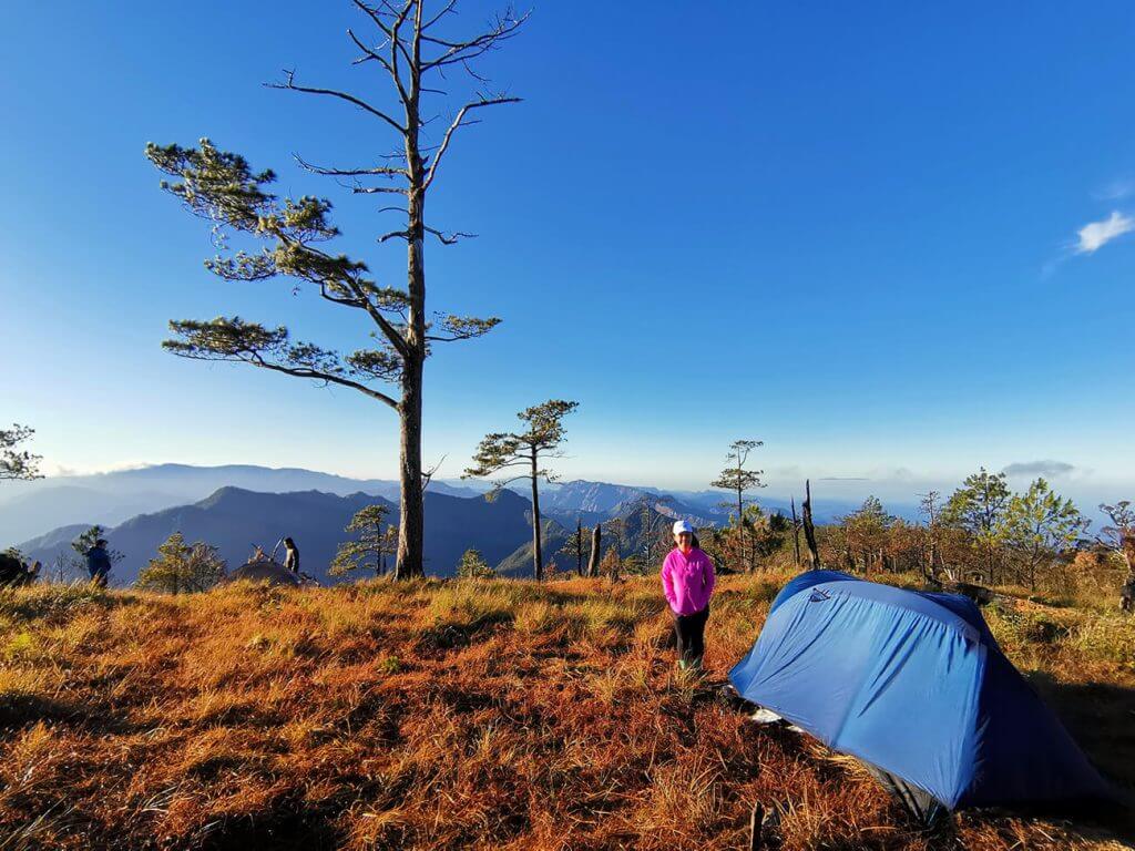
- Summit: A wide, open space perfect for camping, with stunning 360° views of the Central Cordillera range
Mt Namandiraan Hike Guide: Getting There
1. Travel from Manila to Baguio City:
By Bus:
- Operators: Victory Liner, JoyBus, Solid North
- Terminals: Cubao, Pasay, or PITX
- Fare:
- Victory Liner Regular Aircon: PHP 630
- Victory Liner First Class: PHP 999
- JoyBus Deluxe: PHP 695
- JoyBus Executive: PHP 800
- Travel Time: Approximately 6–7 hours
- Booking: Victory Liner, JoyBus
Note: Fares and schedules may change without prior notice depending on season, availability, and demand. It’s best to check updated prices directly with bus operators before your trip.
2. Travel from Baguio City to Cervantes, Ilocos Sur:
By Bus or Van:
- Operators: Rising Sun Bus, local vans
- Departure Point: Near the slaughterhouse along Magsaysay Avenue, Baguio City
Fare: Approximately PHP 200–300
Travel Time: Approximately 4–5 hours
Note: Prices and departure schedules may vary, so it’s advisable to confirm locally for the most accurate and updated information.
For this Mt Namandiraan Hike Guide, my partner and I joined Rabas Outdoor, one of the most trusted hiking organizers. They are well-organized and known for providing great meals during the climb—a huge advantage, especially for a demanding Mt Namandiraan hike.
Reaching the jump-off point is already part of the adventure. Expect a total travel time of around 8 to 10 hours from Manila, making this Ilocos Sur hiking experience both challenging and rewarding even before you hit the Mt Namandiraan trail.
Klook.comMt Namandiraan Hike Guide: The Climb Experience
We arrived early in the morning at Bessang Pass, the official jump-off point for this Mt Namandiraan Hike Guide. After a quick breakfast and some last-minute preparations, we were ready to begin our Mt Namandiraan hike.
The trail initially follows a paved road that passes through a small village. Shortly after, the surroundings begin to shift as the path leads into the forest. From here, the views slowly open up, revealing the stunning landscapes that make Ilocos Sur hiking such a rewarding experience.
As we continued, the Mt Namandiraan trail gradually descended into quiet pine forests, offering a calm and refreshing change of scenery. Eventually, we reached a river crossing—a perfect spot to pause and recharge. It was a much-needed break, especially knowing that the most challenging part of the Mt Namandiraan trek experience was still ahead.
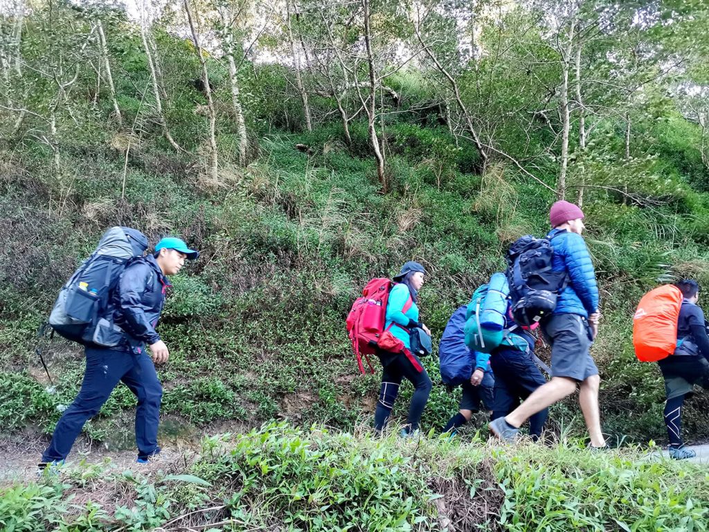

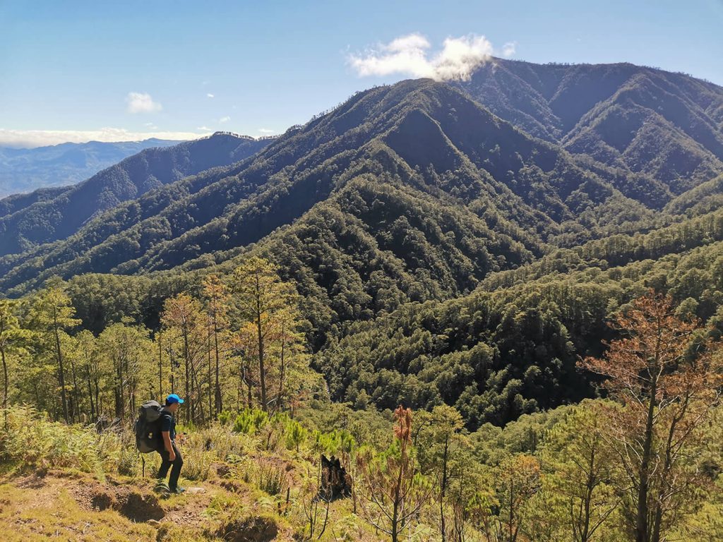


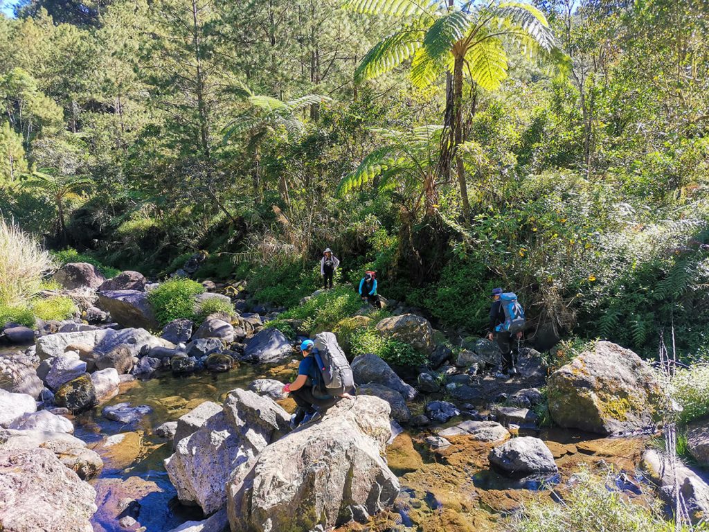

The long ascent to the summit was no joke. It tested both endurance and patience, but the trail made up for it with scenic viewpoints and peaceful forest sections along the way—constant reminders of why the Mt Namandiraan hike is worth every step.


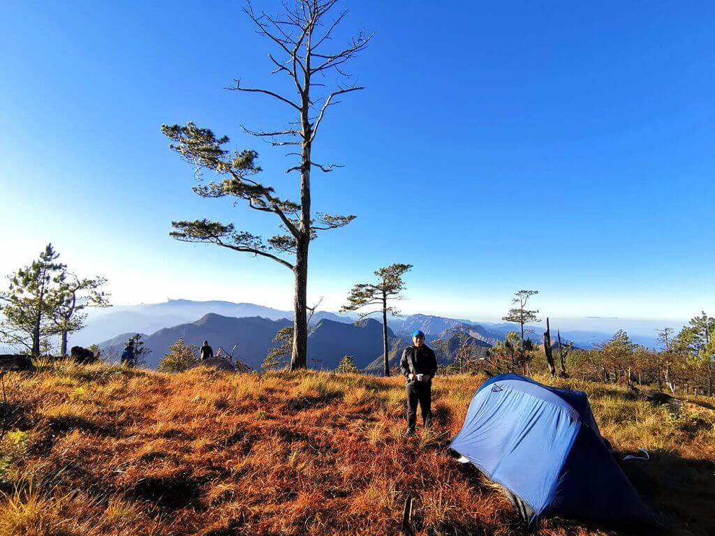
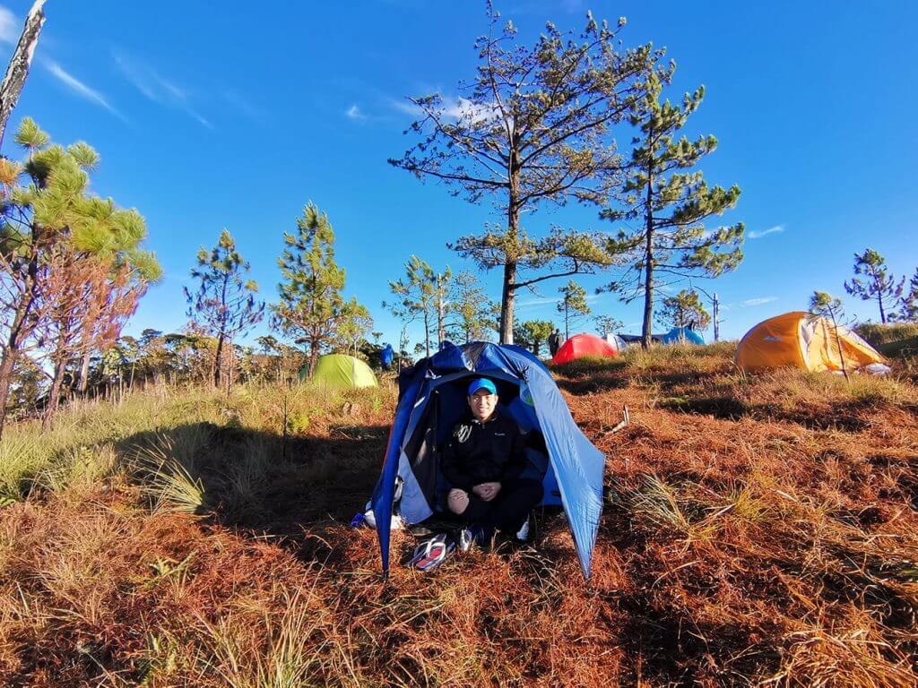
By mid-afternoon, we finally reached the summit—with daylight to spare. This gave us enough time to rest, set up camp, and explore the area. The summit is wide and open, making it ideal for those doing the Mt Namandiraan traverse, as there’s plenty of space to pitch tents.
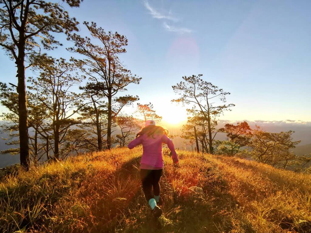
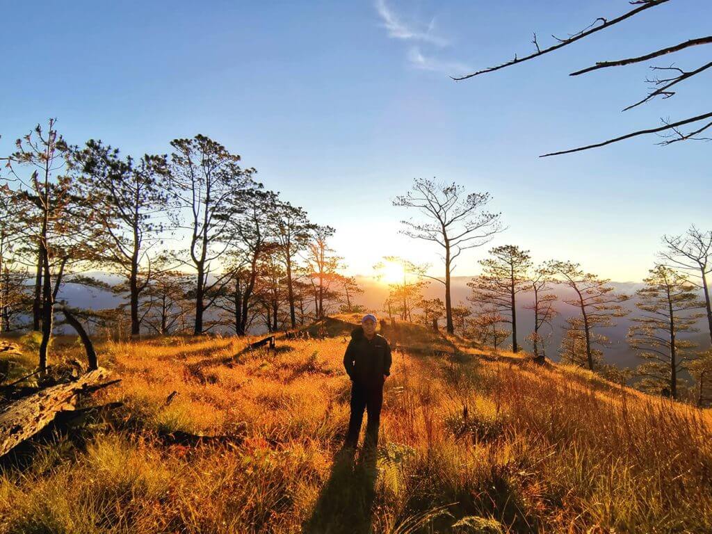
With clear weather on our side, we took our time soaking in the views. As dusk settled in, we were rewarded with a fiery sunset that lit up the entire Cordillera range—one of the most unforgettable highlights of this Mt Namandiraan Hike Guide.


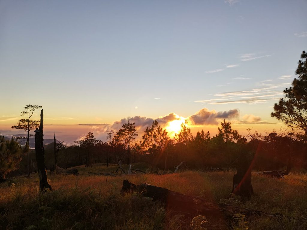
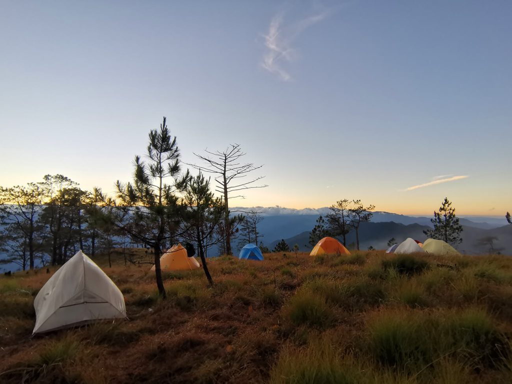
Dinner was already prepared by Rabas Outdoor. After enjoying a warm meal, we shared drinks and stories with the group before calling it a night—ending a long but incredibly fulfilling day on the mountain.
Mt Namandiraan Hike Guide: Descent and Journey Home
The next morning, we woke up to a crisp breeze and clear skies. A glowing sunrise greeted us, revealing sweeping views of the mountains we had climbed the day before. It was the perfect reward after a challenging Mt Namandiraan hike, so of course, we took time to snap some photos before breakfast.
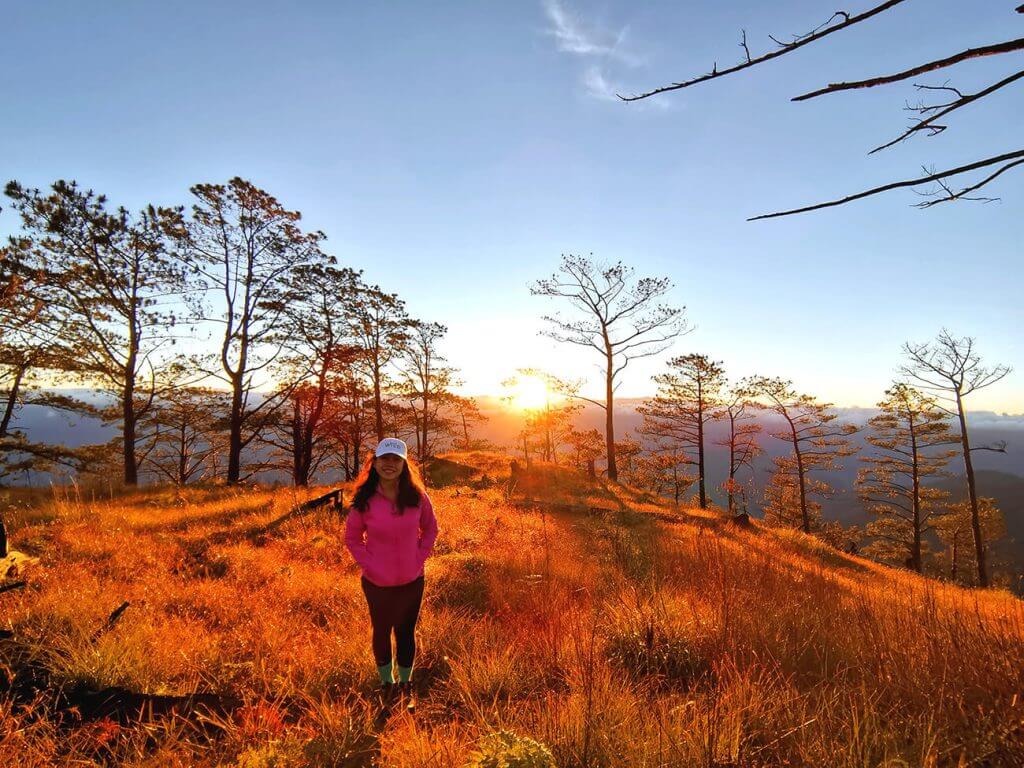
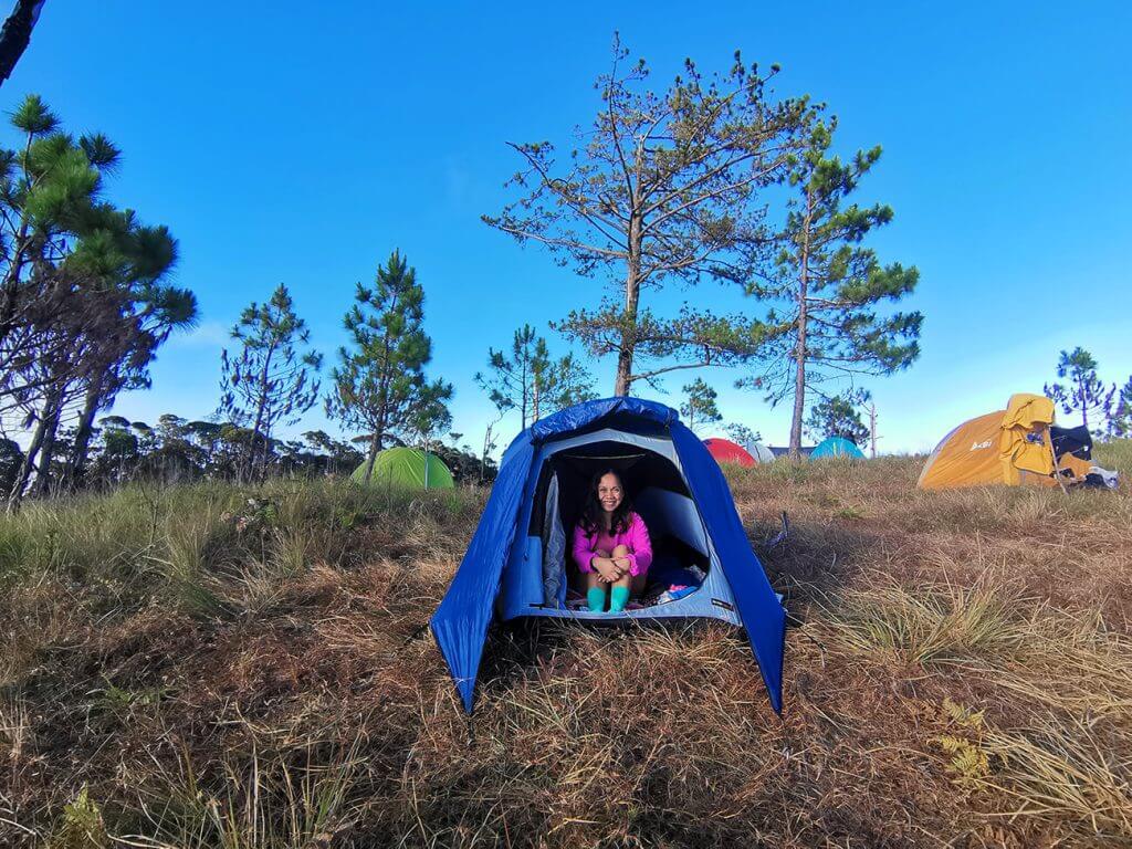
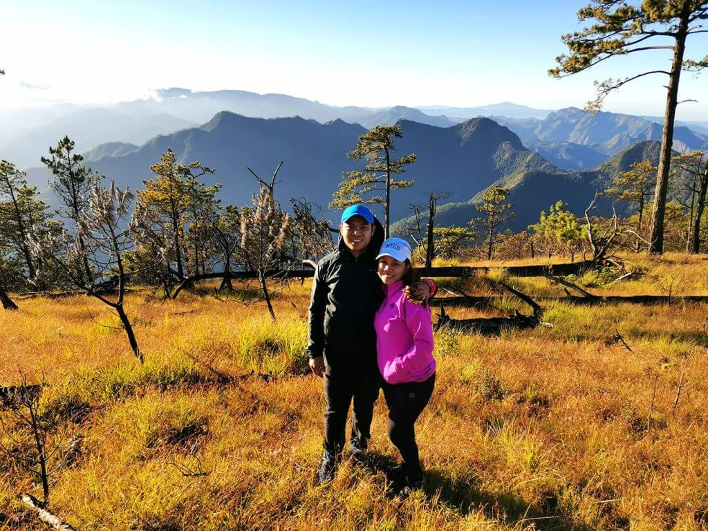
After eating, we broke camp, packed our gear, and began our descent toward Malaya—marking the final leg of this Mt Namandiraan Hike Guide. The descent typically takes around 4 to 6 hours, depending on your pace and trail conditions.
At first, it seemed like going downhill would be easier, but the Mt Namandiraan trail had other plans. The terrain was steep and exposed, and with little to no shade, the early morning sun quickly made the descent more challenging than expected—something commonly experienced in Ilocos Sur hiking routes.
After about 2 to 2.5 hours, we finally cleared the steepest section of the trail. From there, the path became more manageable, transitioning into a mix of gradual downhill and flatter terrain. This portion took another couple of hours to complete and allowed us to settle into a more relaxed pace after the demanding start.


The descent may not be as technical as the ascent, but it still requires focus and endurance—making it an essential part of the overall Mt Namandiraan trek experience. By the time we reached the endpoint, we felt both exhausted and fulfilled, having completed one of the most rewarding Mt Namandiraan traverse routes in Northern Luzon.
Mt Namandiraan Hike Guide: Traverse Itinerary Overview (2D1N)
Day 0: Travel Day (Optional)
- 8:00 PM – 10:00 PM: Depart from Manila via private van or bus
- Travel Time: ~8 to 10 hours to Cervantes, Ilocos Sur
Day 1 – Ascent to Summit
- 6:00 AM – Arrival at Bessang Pass (Jump-off)
- 6:30 AM – Breakfast / Final prep / Briefing
- 7:30 AM – Start trek
- 9:30 AM – Arrive at the river (descent section)
- 10:00 AM – Quick break
- 11:00 AM – 1:00 PM – Continuous ascent
- 1:00 PM – Lunch on the trail
- 2:30 PM – 4:00 PM – Final push to the summit
- 4:00 PM – 5:00 PM – Arrive at Summit / Campsite
- 5:30 PM – Set up camp + Explore the summit
- 6:00 PM – Sunset viewing
- 7:00 PM – Dinner / socials / rest
Day 2: Descent to Malaya (Exit Point)
- 5:00 AM – Wake-up call / coffee
- 6:00 AM – Sunrise viewing / Photo ops
- 7:00 AM – Breakfast / break camp
- 8:00 AM – Start descent
- 3:00 PM – Arrival at Malaya exit point
- 3:00 PM – 4:00 PM – Rest a bit / Clean-up
- 4:30 PM onwards – Travel back to Manila
Mt Namandiraan Hike Guide: Final Thoughts
This Mt Namandiraan Hike Guide wouldn’t be complete without emphasizing this—the mountain may not be as famous as other peaks in Luzon, but that’s exactly what makes it special. The Mt Namandiraan hike offers a unique combination of dramatic terrain, peaceful forest sections, and a quiet summit that truly stands out among Ilocos Sur hiking destinations.
What makes the experience even more memorable is the diversity of the Mt Namandiraan trail. From rugged ridgelines to calm pine and mossy forests, every part of the journey feels raw, remote, and untouched. For those taking on the Mt Namandiraan traverse, the sense of isolation and adventure becomes even more rewarding.
If you’re looking for a trail that’s challenging yet deeply fulfilling, this Mt Namandiraan trek experience is one you shouldn’t miss. It’s the kind of adventure that reminds you why exploring lesser-known mountains can be far more meaningful than following the usual paths.
Mt Namandiraan Hike Guide: Trail Tips
1. Prepare for the Long Journey
The road to Mt. Namandiraan hike guide is long, taking around 8 to 10 hours from Manila to the jump-off point. Plan your travel accordingly and be ready for a day spent on the road. If possible, travel comfortably — bring neck pillows, snacks, and entertainment to make the journey more enjoyable.
2. Pack Light but Smart
Since the hike involves both ascent and descent, you’ll want to keep your pack as light as possible while still bringing the essentials. Opt for a comfortable backpack and remember to pack:
- Lightweight camping gear (tent, mat, sleeping bag)
- Waterproof jacket (weather in the mountains can be unpredictable)
- Energy snacks (trail mix, energy bars, fruits)
- First-aid kit (blister treatment, bandages, pain relievers)
3. Wear Appropriate Footwear
The trail can get tricky, especially during the ascent and descent. Wearing sturdy, comfortable hiking boots with good ankle support is a must. The trails range from paved roads to steep, rocky paths, so your footwear should be up to the task. Also, break them in before the hike to avoid blisters.
4. Hydrate, Hydrate, Hydrate
The hike can get pretty hot, especially during the descent. Make sure to carry enough water — at least 2–3 liters per person — and stay hydrated throughout the trek. There are river crossings along the way where you can refill, but it’s always better to come prepared.
5. Take Regular Breaks
Whether you’re climbing or descending, pace yourself. The ascent is continuous and can be physically taxing, while the descent can be hard on the knees due to its steepness. Regular breaks allow you to catch your breath, hydrate, and take in the stunning surroundings.
6. Sun Protection
The trail can be quite exposed, especially during the descent. Bring a hat, sunglasses, and sunscreen to protect yourself from the harsh sun. Even if the weather seems cool at first, the sun’s intensity can catch you off guard.
7. Don’t Rush the Summit
The summit is the highlight of the hike, so don’t rush to get there. Take your time, enjoy the scenic views along the way, and savor the moments. You’ll be rewarded with spectacular panoramic views of the Central Cordillera range once you reach the top.
8. Pack for Cold Nights
Even though the hike is mostly under the sun, nights can get chilly on the summit. Make sure to bring warm layers for the evening. A good jacket, extra socks, and thermal clothing will ensure you stay comfortable while resting at camp.
9. Respect the Environment
Mt. Namandiraan remains a relatively untouched mountain, and it’s important to keep it that way. Make sure to follow Leave No Trace principles. Pack out all trash, stick to the designated trails, and respect local wildlife.
10. Join a Guided Tour
If you’re new to the area or hiking in general, consider joining a guided tour with a reputable organizer like Rabas Outdoor. Not only do they handle logistics, but they also ensure your safety and provide good food, which is always a bonus on a tough hike.
11. Plan for the Unexpected
Hiking in remote areas can bring surprises. Be prepared for unexpected weather changes, trail conditions, or even delays. A flexible mindset and a good attitude will go a long way.
Mt Namandiraan Hike Guide: FAQs
Is Mt Namandiraan hike difficult?
The Mt Namandiraan hike is considered challenging to major climb level. Expect long trekking hours, steep ascents, and exposed sections. However, for experienced hikers, it’s a rewarding adventure.
Where is Mt Namandiraan located?
Mt Namandiraan is located in Cervantes, Ilocos Sur, Philippines. It is known as the highest peak in Ilocos Sur, making it a popular destination for those exploring Ilocos Sur hiking routes.
How long does the Mt Namandiraan hike take?
The hike usually takes 2 days and 1 night (2D1N). Day 1 involves a 6–8 hour ascent, while Day 2 includes a 4–6 hour descent, especially if you’re doing the Mt Namandiraan traverse.
What can you expect on the Mt Namandiraan trail?
The Mt Namandiraan trail features diverse terrain, including:
Pine forests
Mossy forest sections
Open ridgelines
Steep and exposed paths
This variety makes the Mt Namandiraan trek experience both scenic and physically demanding.
What should you bring for Mt Namandiraan hike?
Essential items include:
2–3 liters of water
Sun protection (hat, sunscreen)
Trail food and snacks
Headlamp or flashlight
Camping gear (for overnight hikes)
Proper preparation is key for a safe Mt Namandiraan trek experience.
Is Mt Namandiraan worth it?
Absolutely. The Mt Namandiraan hike offers raw and untouched beauty, making it one of the most rewarding adventures in Northern Luzon. It’s perfect for hikers looking for a less crowded and more authentic hiking experience.
If you enjoyed this travel story, don’t miss our other hike travel adventures—each one is filled with inspiring journeys waiting to be discovered






Thanks for the tips. Learned a lot!